
Somerset County ZIP Code Coverage
Postal codes are routing tools, not legal municipal boundaries. Somerset County has 21 municipalities across 305 square miles, while the research working list identifies 30 postal codes associated with county communities. Several names cross municipal or county concepts. The table preserves those cautionary notes rather than treating every postal place as a jurisdiction. Use the full delivery address and official postal lookup before applying a ZIP to a county, municipal, tax, or historical-record search.
| ZIP | Postal place or county association | Postal notes |
|---|---|---|
| 07059 | Warren | Standard; Warren Township area |
| 07069 | Watchung | Standard; Watchung area |
| 07920 | Basking Ridge | Standard; Bernards Township postal place |
| 07921 | Bedminster | Standard; Bedminster area |
| 07924 | Bernardsville | Standard; Bernardsville area |
| 07931 | Far Hills | Standard; nearby Somerset Hills addresses |
| 07934 | Gladstone | Standard; Peapack-Gladstone vicinity |
| 07938 | Liberty Corner | Standard; Bernards Township vicinity |
| 07939 | Lyons | Standard; Somerset Hills vicinity |
| 07977 | Peapack | Standard; Peapack-Gladstone area |
| 07978 | Pluckemin | Standard; Bedminster and Bernards vicinity |
| 08502 | Belle Mead | Standard; Montgomery and adjacent area |
| 08504 | Blawenburg | Standard; Montgomery vicinity |
| 08528 | Kingston | Standard; Montgomery and adjacent area |
| 08553 | Rocky Hill | Standard; borough and adjacent area |
| 08558 | Skillman | Standard; Montgomery vicinity |
| 08805 | Bound Brook | Standard; Bound Brook area |
| 08807 | Bridgewater | Standard; Bridgewater and Bradley Gardens area |
| 08821 | Flagtown | Standard; Hillsborough area |
| 08823 | Franklin Park | Standard; Franklin Township area |
| 08835 | Manville | Standard; Manville area |
| 08836 | Martinsville | Standard; Bridgewater and Warren vicinity |
| 08844 | Hillsborough | Standard; Hillsborough Township |
| 08853 | Neshanic Station | Standard; Branchburg and Hillsborough vicinity |
| 08869 | Raritan | Standard; Raritan borough area |
| 08873 | Somerset | Standard; Franklin Township postal place |
| 08875 | Somerset | Alternate delivery; verify exact address |
| 08876 | Somerville | Standard; some neighboring postal addresses |
| 08880 | South Bound Brook | Standard; South Bound Brook area |
| 08890 | Zarephath | PO Box and community-delivery quirks |
Note: This is a postal working list, not a legal boundary table or a guarantee that every ZIP serves every part of a listed municipality.
Somerset County Postal Place Names
Somerset County's mixed river, rail, suburban, village, and rural geography explains why postal and municipal names often diverge. Somerset, Somerville, Zarephath, Basking Ridge, and other postal places do not each equal one of the county's 21 legal municipalities. The two Somerset labels, 08873 and 08875, are postal names connected with Franklin Township-area addresses. Likewise, 08876 is a Somerville postal label that can appear with neighboring township listings. A record request should name the actual municipality when that is known.
USPS Postal Lookup is the official address-to-ZIP and ZIP-to-city route for confirming the postal part of a complete address.
Once USPS confirms delivery information, keep the postal label separate from the tax municipality, parcel situs, and legal description used in local records.
The Somerset Hills cluster illustrates the difference. Basking Ridge is the postal place for 07920 and is associated with Bernards Township. Liberty Corner and Lyons also point to Bernards Township vicinity, while Bedminster, Far Hills, Bernardsville, Gladstone, Peapack, and Pluckemin have their own postal presentations across the same broader area. In the south and west, Belle Mead, Blawenburg, Kingston, and Skillman connect with Montgomery or adjoining places. The postal label is useful for locating an address, but a municipal clerk, assessor, or construction office needs the legal municipality.
River-and-rail communities have their own overlaps. Bound Brook, South Bound Brook, Raritan, Somerville, Bridgewater, Manville, and Franklin Township-area postal places sit close enough that a historical source can use a nearby town name. Preserve the place name exactly as printed, then test it against the street, parcel, and time period. That approach avoids merging a county association with a town jurisdiction.
Searching a Somerset County ZIP Code
No researched county system is documented as a broad ZIP-wide people directory. A ZIP helps narrow an address, but the next record is usually searched by street address, owner name, block and lot, or legal description. The safe method is to establish the postal location first, then move to the actual record key used by the office. That keeps a postal clue from being mistaken for a parcel or jurisdiction.
- Confirm the complete delivery address with USPS and record the returned ZIP.
- Use the county GIS ZIP polygon and municipality layers to see the surrounding geographic overlap.
- Search the municipal assessment system or GIS by the documented address or parcel route.
- Use block, lot, or legal description for an AcclaimWeb deed search.
- For a historical household, search the postal city, street, and year in the relevant directory collection.
Once the ZIP has narrowed the area to a street, the address workflow belongs on the Somerset County street directory page. A ZIP does not prove that an owner, voter, or directory entry belongs to a particular parcel.
Somerset County ZIP Search Limits
Portal labels matter. NJ GeoParcels supports county, municipality, block, lot, and address searching, but its official description does not promise a ZIP filter. The county Tax Parcel Viewer documents address, block and lot, and property-class filters. AcclaimWeb documents name, book and page, instrument number, legal description, document type, consideration, record date, and Alpha Index modes. The state voter status tool is an individual registration-status check, not a ZIP-browse list.
| USPS lookup | Confirms the postal ZIP for a complete delivery address or returns city information by ZIP. |
|---|---|
| County Tax Parcel Viewer | Documents address, block and lot, and property-class routes, not a ZIP field. |
| NJ GeoParcels | Documents county, municipality, address, block, and lot routes, not a promised ZIP field. |
| AcclaimWeb | Uses land-record keys such as name, legal description, and record date, not a documented ZIP route. |
That gap is useful information. It prevents a searcher from assuming that a blank ZIP search means no property or historical record exists.
Other local tools have similarly narrow roles. New Jersey's voter portal confirms an individual registration status rather than browsing everyone attached to a postal area. Somerset's voter-list request is a separate product with a political-purpose certification and a limited voting-history window. Historical books are normally organized by name, ward, precinct, street, or address, not by postal routing. A result from any one of those sources should be compared with the municipality and the record's own date.
County GIS is valuable after an address is known. Its 2024 redesign added address, block-and-lot, and property-class filters, plus a 200-foot notification or search tool, bookmarks, basemap switching, and map or report functions. It is not an owner-name directory because owner names were redacted from county tax-parcel data. The municipal assessment system and recorded land documents provide the documented pivot when the question turns from parcel geography to ownership.
Somerset County ZIP Map Layers
The county GIS stack and the New Jersey map service can put postal geography beside municipal boundaries, roads, and parcels. State parcel mapping uses block and lot with a PIN matching PAMS, while the map service exposes parcel, municipality, county, state boundary, ZIP, place-name, and road layers. Use identify on a parcel and compare the ZIP polygon with the municipality line. The county's redesigned 2024 viewer also offers address and block-lot searching, 200-foot tools, bookmarks, and basemap switching.
New Jersey's public map service is the source for the ZIP, parcel, and boundary-layer view shown here.
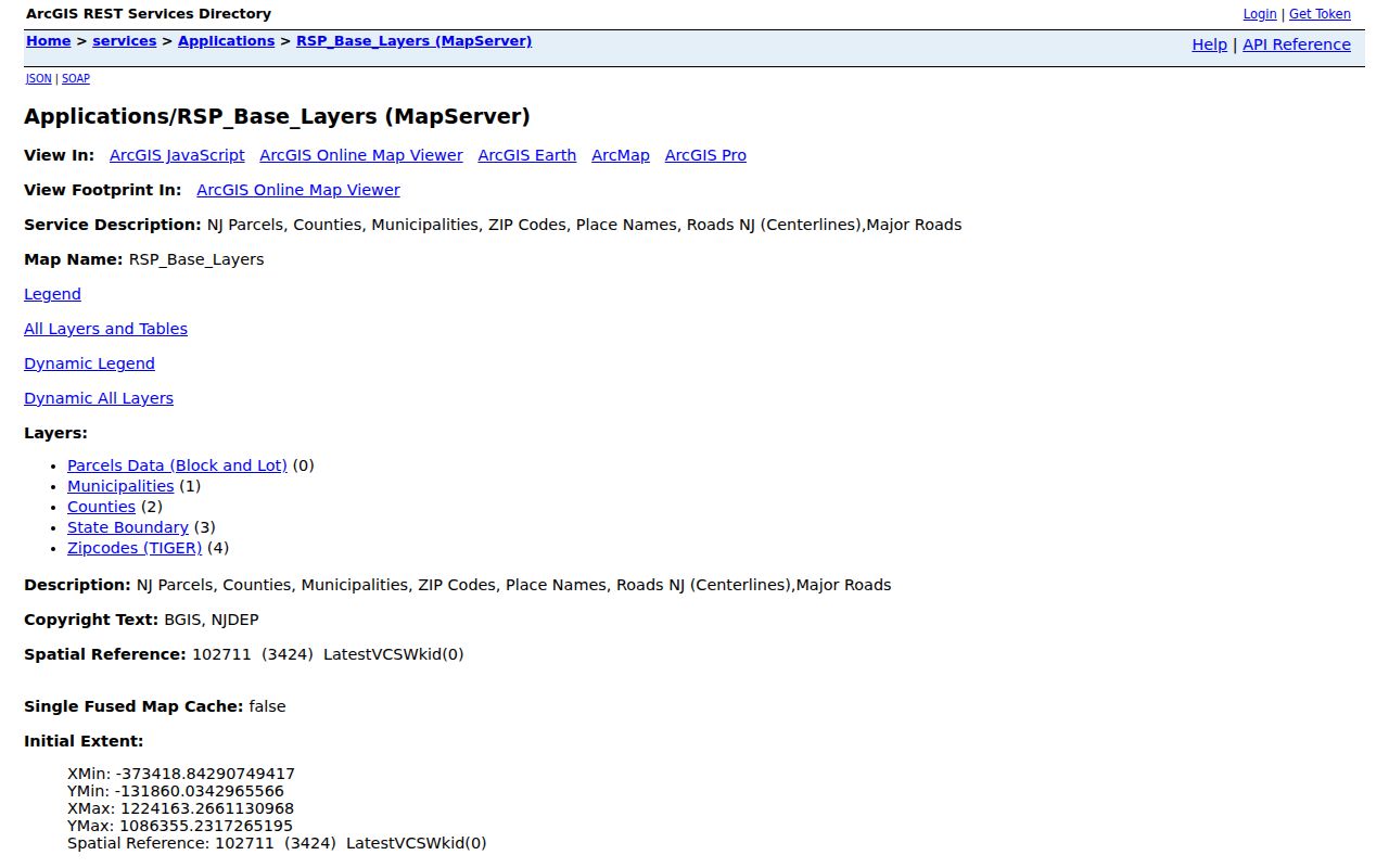
The map can explain a boundary mismatch, but the county's redesigned parcel viewer redacts owner names. Use the municipal assessment system or recorded documents for an owner-name question.
Somerset County ZIP Code Boundaries
A county record can be filed under the municipality even when mail uses another place name. This is especially important at postal edges around Somerset and Franklin Township, Somerville and nearby addresses, Somerset Hills communities, and Zarephath's community-delivery pattern. A directory volume may also use a town name, ward, precinct, or street instead of a ZIP. Matching the source's own geography before searching avoids false negatives and duplicate results.
- ZIP code
- A postal routing code for an address area. It is not a municipal boundary.
- ZIP+4
- An added delivery segment used with a base ZIP. It does not replace the municipal or parcel identity.
- PO Box ZIP
- A code associated with post-office box or community delivery arrangements, which can differ from a street-delivery ZIP.
- Carrier route
- A delivery grouping used by the postal service. It is not a legal neighborhood or tax boundary.
Somerset County ZIP Record Trail
After USPS and GIS resolve the address, switch from postal geography to the record keeper's key. The municipal assessor system can tie an address to owner, mailing and situs fields, value, class, exemptions, sales, and building information where the municipality publishes those data. GIS contributes parcel geometry and block or lot. The County Clerk's AcclaimWeb index then connects a legal description, grantor or grantee, instrument number, and recording date to recorded land documents.
Keep mailing and situs addresses distinct. Situs is the physical land or building address. A mailing address is where tax notices go, and it does not establish occupancy. The legal description is the deed's land identity. Those three details can differ because of a postal label, a management address, or another recorded arrangement.
Somerset County ZIP Verification
Verify a ZIP again whenever the search shifts from a mailing address to a property record, a historical directory, or a municipal request. County and state maps can show the overlap, but USPS is the delivery authority for a full address. Historic sources need their own check because an older directory may use Somerville, Bound Brook, Raritan, or an unincorporated-community label rather than a current postal presentation.
ZIP realignment history for Somerset County was not located in the official research. Do not assign a split or renumbering date without a source. Instead, preserve the exact address as printed in each record and compare it with the map, street, municipality, and parcel information available for that period.
If a county or municipal record is not already online, New Jersey Open Public Records Act procedures can be a fallback for nonrestricted government material. Somerset County routes county requests through JustFOIA and also accepts mail, fax, or in-person submission. Municipal records stay with the relevant town custodian, and vital records remain a separate restricted channel rather than an OPRA shortcut. A specific street address, block and lot, date range, and record type make a request more precise than a postal label alone.